Description
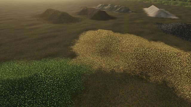
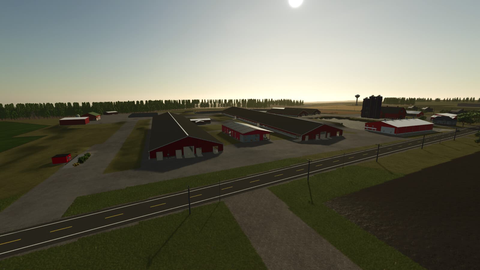
Welcome to Genesee County 4km, based in Oakfield, New York, showcasing the unique aspects of farming in Western New York. This map is centered around the largest dairy farm in New York State and captures the scale and diversity of agriculture found throughout Genesee County.
Features
- Real-world-inspired layout based on the Oakfield, NY area.
- Located in one of the largest agricultural regions in Western New York.
- Custom Precision Farming soil map support.
- Large 4km x 4km map designed for larger equipment and long-haul farming operations.
- Includes a custom Calf Barn complex with 4 barns capable of raising up to 200 calves.
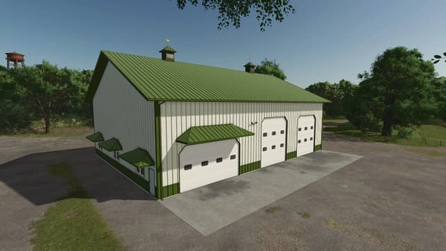
- Features a Horse Barn and TMR Factory.
- Custom production chains, including a Sawmill (Wood Factory) and Paper Factory.
- Alfalfa added as an additional crop type.
- 93 purchasable land parcels.
- 67 fields ranging in size from small family farms to large commercial operations.
- Extensive logging opportunities throughout the map.
- Unique buildable projects, including a roller coaster and custom home.
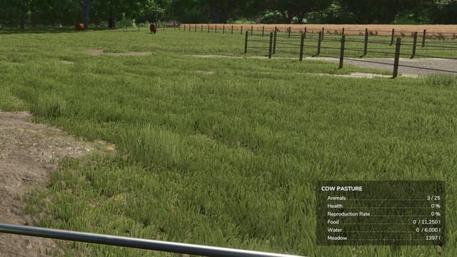
- Home to over 8,000 dairy cows housed in modern freestall barns, with additional livestock operations across the map.
- Fully functional traffic system.
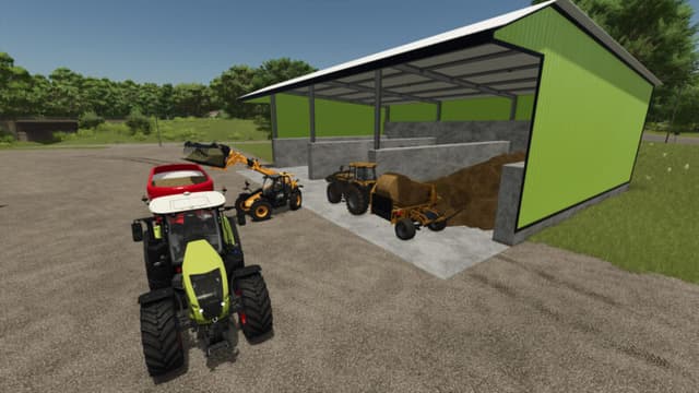
- Custom bale storage system located at the main dairy farm.
Experience authentic Western New York agriculture in one of the region's largest farming areas, featuring large-scale crop production, dairy operations, forestry, and extensive production opportunities across Genesee County.
Credits
jdunn1019
Files
913.3 MB
Primary1 Downloads
Total downloads including previously deleted files: 3