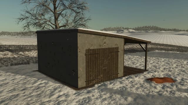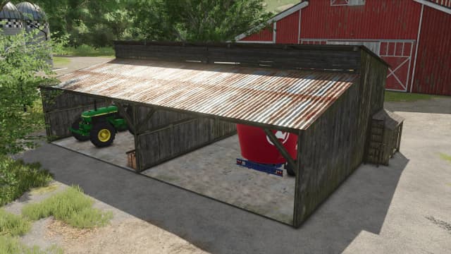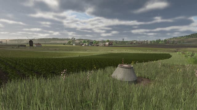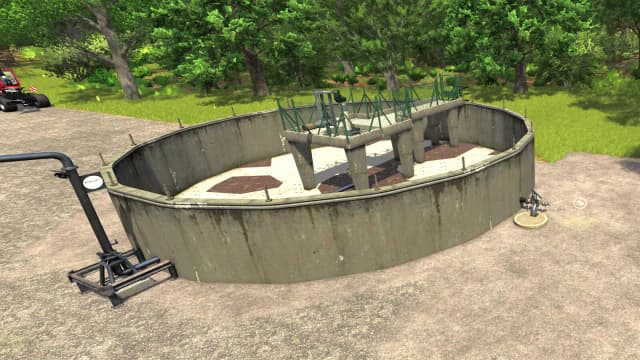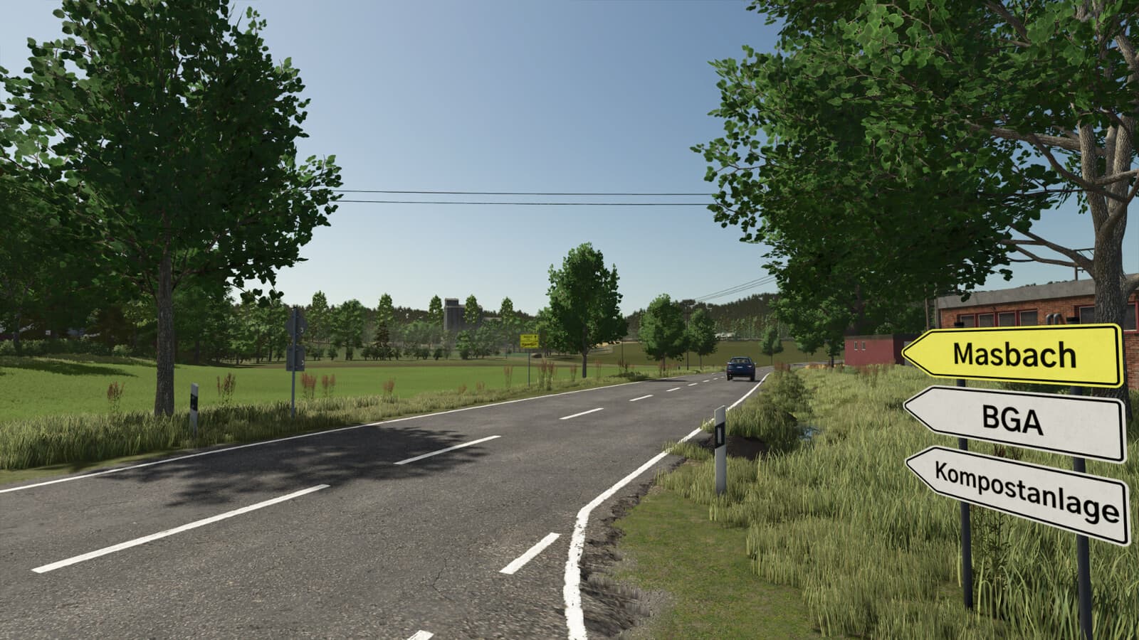
Description
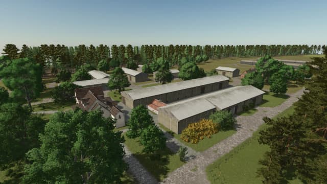
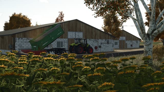
Welcome to the heart of Thuringia and the Rhön biosphere reserve!
This map is based on a real region near the Hessian border.
You are welcome to share any problems or ideas you find under the Github link https://github.com/dome23svw/ls_rhoendesign.git.
On the map you will find:
- 38 fields (between 1.7 and 14 ha)
- 36 meadows (between 0.2 and 6.5 ha)
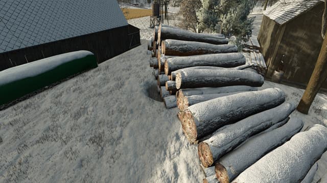
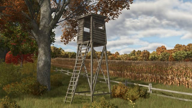
- 7 forest areas
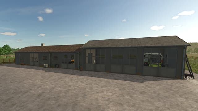
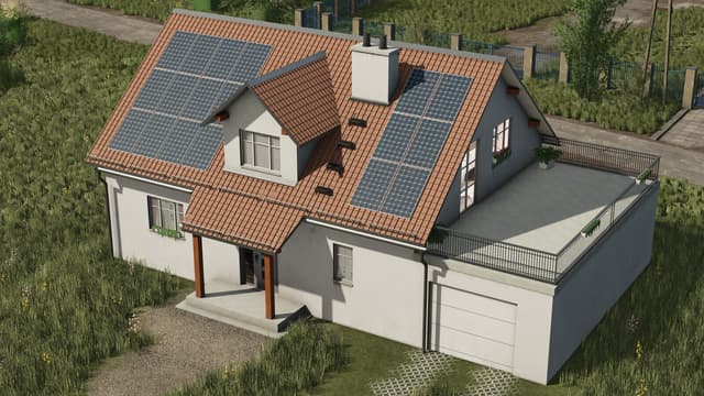
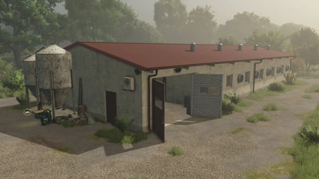
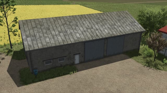
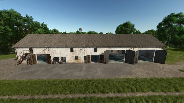
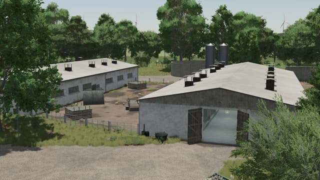
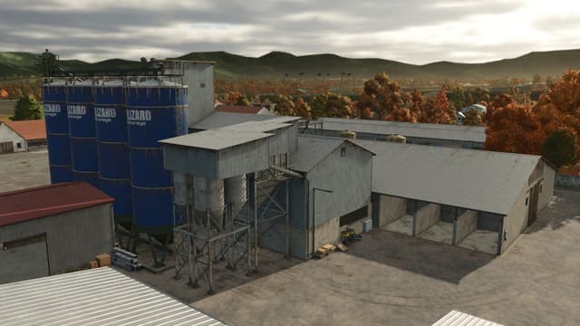
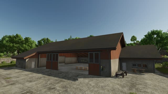
- 5 farms of different sizes
- approx. 18000 trees
- Rhönland as a regional agricultural enterprise
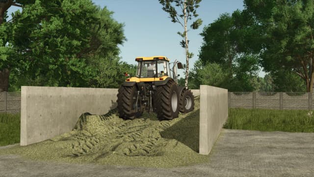
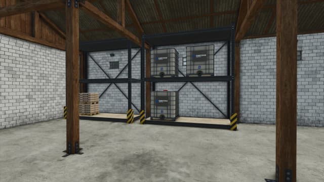
- various productions
- a single BGA, a smaller one on the Rhönland farm
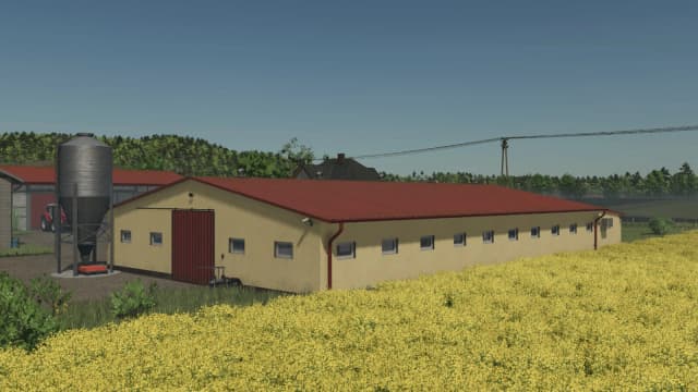
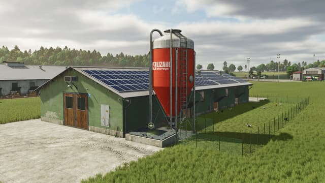
- a large chicken farm
- an open-air garden
- well-developed helper roads
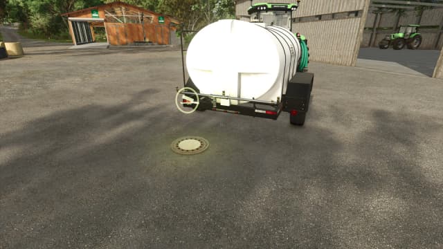
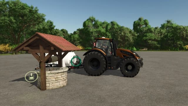
- Water can be taken from the ponds and the river
- Spruce trees can be built and planted
- Milking station at the main farm
- Irrigation system in the garden
- Basalt plant with open-cast mine and blasting facility
- Local car license plates
- NPCs to help you enter the map
- Companies have opening hours (gates open accordingly)
Credits
LS_Rhoendesigns
Files
571.4 MB
Primary0 Downloads
569.8 MB
0 Downloads
Total downloads including previously deleted files: 0